
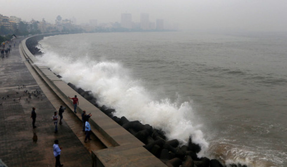
India’s western coast may witness the first cyclonic storm of the year by Sunday with the Indian meteorological department (IMD) on Tuesday predicting its likely formation over the east-central Arabian Sea.
Once it is formed, the cyclone will be named ‘Tauktae’, meaning highly vocal lizard gecko, – the name given by Myanmar.
The IMD said a low-pressure area was very likely to form over the southeast Arabian Sea around May 14 (Friday) morning.
“It is very likely to move north north-westwards across the southeast Arabian Sea and adjoining Lakshadweep area and intensify gradually,” it said, underlining the possibility of rains and squally weather in Lakshadweep and coastal areas of Kerala, Karnataka, Goa and Maharashtra.
Based on its numerical models, the IMD predicted that the low-pressure area may intensify into a “cyclonic storm” over the east-central Arabian Sea around May 16 (Sunday) and continue to move north north-westwards.
Some of the numerical models, however, show the possibility of its course towards Kutch areas in Gujarat and south Pakistan while others indicate its movement towards south Oman.
“It will be clearer in a day or two. Once a low-pressure area is formed by Friday (May 14), we will be able to predict its further course and landfall,” Sunitha Devi, head of cyclone warning division, IMD told TOI.
She said, “At present, the numerical model guidance is very vague. Still, we have come out with the prediction at this stage as a precautionary step so that the fishermen out in the deep sea could return to the coast by Friday.”

Surjitt Sahani